How is LiDAR Drone a game changer in the drone industry?
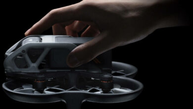
Nowadays, drones are equipped with different technology which enables us to do extraordinary work within a short period. A drone only with one moderate camera module can give us a 3rd eye in the air. With the wide variety of drone applications daily, drone users are coming. LiDAR drones are types of drones that are compatible with the LiDAR module.
So, what is a LiDAR drone? Will it add any extra advantage to our drone application? We will find all our answers within this article.
Table of Contents
- What is the LiDAR system?
- What is Photogrammetry?
- LiDAR vs. Photogrammetry
- Need for a LiDAR drone
- Some Applications of LiDAR drone
What is the LiDAR system?
LiDAR system is a remote sensing technology that uses a laser beam to sense an object. One transmitter emits a laser pulse to a thing, and one receiver receives the reflected amount of laser light and measures the distance. The LiDAR system accumulates those received data points and creates 3d maps with high accuracy and precision. When we add this technology with the DRONE, the LiDAR drone becomes a beast in its dimension.
What is photogrammetry?
Photogrammetry is a process where this system uses multiple images from several angles and creates 3D models from those images using some machine learning (ML) algorithms. Due to the limitation of 2D photos, the rendered 3D model is not so accurate. But it is a cost-effective solution because we do not need any extra type of transducer except the image sensor.
LiDAR vs. Photogrammetry
As we discussed earlier, the accuracy and precision are significantly less in photogrammetry. But using LiDAR technology, we can efficiently create the 3D model. On the other hand, the Photogrammetry process can create a color 3D map, but LiDAR can create a monochromatic 3D map. The Modern LiDAR system they are taking some help from different image sensors to develop color 3D maps. With high costs, LiDAR gives us technological advantages.
Now we can integrate or assemble our LiDAR sensor to make a LiDAR drone.
Need for a LiDAR drone
If we want a solution to gather some information quickly with proper safety, then LiDAR is the best. It can be used for safety inspection, power station fault detection, etc.
It is far better than the ground-based solution because it can cover extended areas within a short span, and not only that, it can cover those unreachable from the ground. But due to the flying mechanism, its accuracy is slightly less than the ground-based LiDAR system.
LiDAR drone has enormous potential in different sectors. More research is going on on the LiDAR technology. Nowadays, some organizations are using LiDAR and Photogrammetry to get better results in reconstructing 3D point clouds of different things.
Some applications of LiDAR drone
Here we will briefly discuss the top 3 applications of LiDAR drones.
Power Line Inspection:
Power line inspections are easier now due to the LiDAR drone. One LiDAR drone can cover a vast area and identify the fault more easily and quickly due to its precision. It can cover both on a plane and in rough hilly regions. Due to these multidimensional advantages, it is widely accepted by several power distribution organizations.
Land survey and Precision agriculture using LiDAR drone
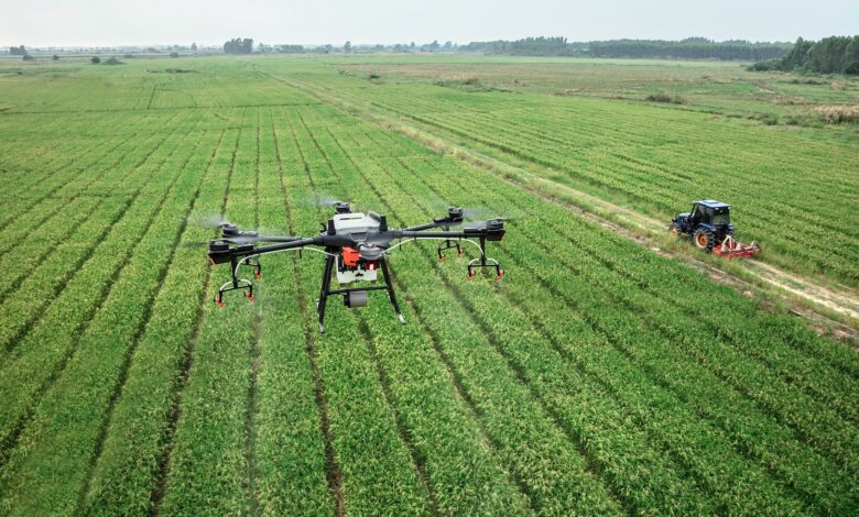
Another widely used application of LiDAR drones is Land Survey and precision agriculture. It helps people to get the idea of land without taking the help of any human-crewed helicopter. It can give a decent idea of crop growth for better farming.
Topographic and bathymetric survey
This kind of drone is widely used to survey large topographical areas. LiDAR technology monitors the land and helps in the bathymetric survey. In the bathymetric study, we mainly measure the depth of the water and also do the 3D mapping of underwater environments.
What do you think, in which field can you use your LiDAR drone? Please let us know by using the comment section.
